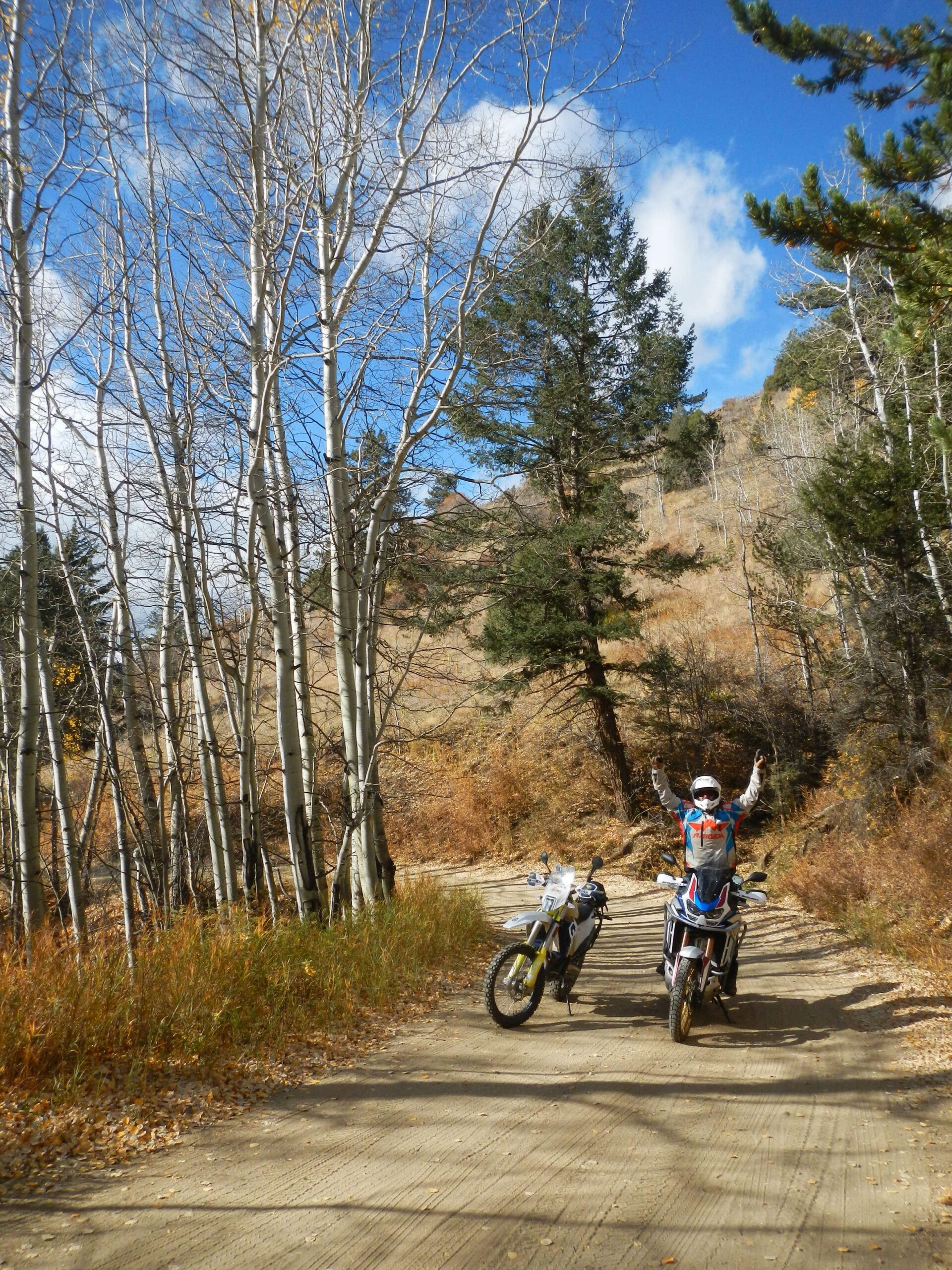
A Rider’s Guide to High-Country Seasons
Few experiences match the thrill of dropping your dual-sport or adventure bike into gear and climbing toward a 12,000-foot Colorado pass. But for riders planning a high-alpine trip, timing is everything.
Every spring, a crucial battle plays out across the Rockies: county Road & Bridge crews, the USFS, and the BLM use heavy machinery to cut through 15-foot snowdrifts to clear mountain routes.
Heading into the high country too early means hitting impassable snow walls, dangerous mud, or closed forest gates. Arriving too late means missing prime riding windows before autumn storms roll in. To help you plan your high-alpine itinerary, here is how seasonal pass openings work—and what to expect across Colorado’s distinct elevation tiers.
Understanding Opening Dates Based on Terrain
Mountain pass openings don’t happen all at once. They open in predictable stages based on elevation, road surface, and county plowing priorities.
Tier 1: Low-Elevation & Paved Passes (Late May)
- Average Opening Window: Memorial Day Weekend (Late May)
- Examples: Guanella Pass (11,670 ft), Cottonwood Pass (12,126 ft), Kenosha Pass (10,000 ft)
- Terrain: Paved or heavily maintained gravel corridors.
- What to Expect: Because these routes serve as primary thoroughfares connecting mountain communities, county crews prioritize clearing them first. While surrounding peaks remain covered in deep snowpack, Tier 1 corridors are generally clear of snow by late May—making them ideal for early-season shakedown rides and altitude adjustment.
Tier 2: Mid-Elevation Dirt & Gravel Corridors (Mid-to-Late June)
- Average Opening Window: June 10 to June 25
- Examples: Boreas Pass (11,481 ft), Weston Pass (11,921 ft), Marshall Pass (10,842 ft)
- Terrain: Forest Service roads, double-track gravel, light rock.
- What to Expect: These unpaved pass systems connect major mountain valleys like South Park, the Arkansas River Valley, and the San Luis Valley. While lower switchbacks melt out early, shaded north-facing cuts often hold stubborn snowbanks into mid-June. Once county plows break through, these routes open up fantastic dual-sport and adventure touring opportunities.
Tier 3: Extreme High-Alpine Passes (Late June to Early July)
- Average Opening Window: June 25 to July 10 (Varies heavily by winter snowpack)
- Examples: Mosquito Pass (13,185 ft), Engineer Pass (12,800 ft), Cinnamon Pass (12,600 ft), Hermit Pass (13,000 ft)
- Terrain: High-clearance rock, loose scree fields, steep shelf roads.
- What to Expect: Known locally as “The Highway of Frozen Death” due to its treacherous winter conditions, routes like Mosquito Pass between Alma and Leadville sit above timberline in severe alpine environments. County crews in Park, Lake, Ouray, and San Juan counties work tirelessly through late spring using bulldozers and blowers. Until late June or early July, massive drift walls remain impassable near the summits.
Factors That Impact Opening Dates Each Year
Tracking historical dates gives you a solid baseline, but real-world conditions shift annually based on three main environmental factors:
- Spring Runoff & Mud Season: Even after snowbanks melt, saturated soil can turn trail switchbacks into deep, axle-deep mud. USFS and BLM managers often keep gate closures active to protect fragile alpine ecosystems until trails dry out.
- Avalanche Debris: Winter slide paths frequently deposit trees, boulders, and dense, packed snow across shelf roads, requiring specialized clearing gear before trails are safe.
- Monsoon Timing: By mid-July, snowpacks give way to afternoon thunderstorm cycles. High-altitude passes require early morning starts to avoid dangerous ridge lightning and flash mudslides.
Skip the Guesswork: Get Real-Time Field Intel
County websites and community forums post updates, but official gate statuses rarely match actual on-the-ground trail conditions. A pass can be officially “open,” yet remain blocked by a single lingering drift on a north-facing switchback.
At SolidRide, our basecamps in the Pike and San Isabel National Forests sit directly at the foot of these high-pass corridors. We monitor pass melt-outs, road conditions, and agency gate statuses in real time.
Plan Your High-Alpine Expedition
Whether you need custom GPX routes with built-in seasonal bypasses or permitted field staging for a group ride, our team is here to help.
- Looking for vetted routes and live conditions? Check out our Travel Advisory & Custom GPX Services to build an itinerary tailored to your dates, bike setup, and skill level.
- Staging a private group or media ride? Explore our Field Staging Basecamps for private group staging and permitted access to Colorado’s iconic pass networks.