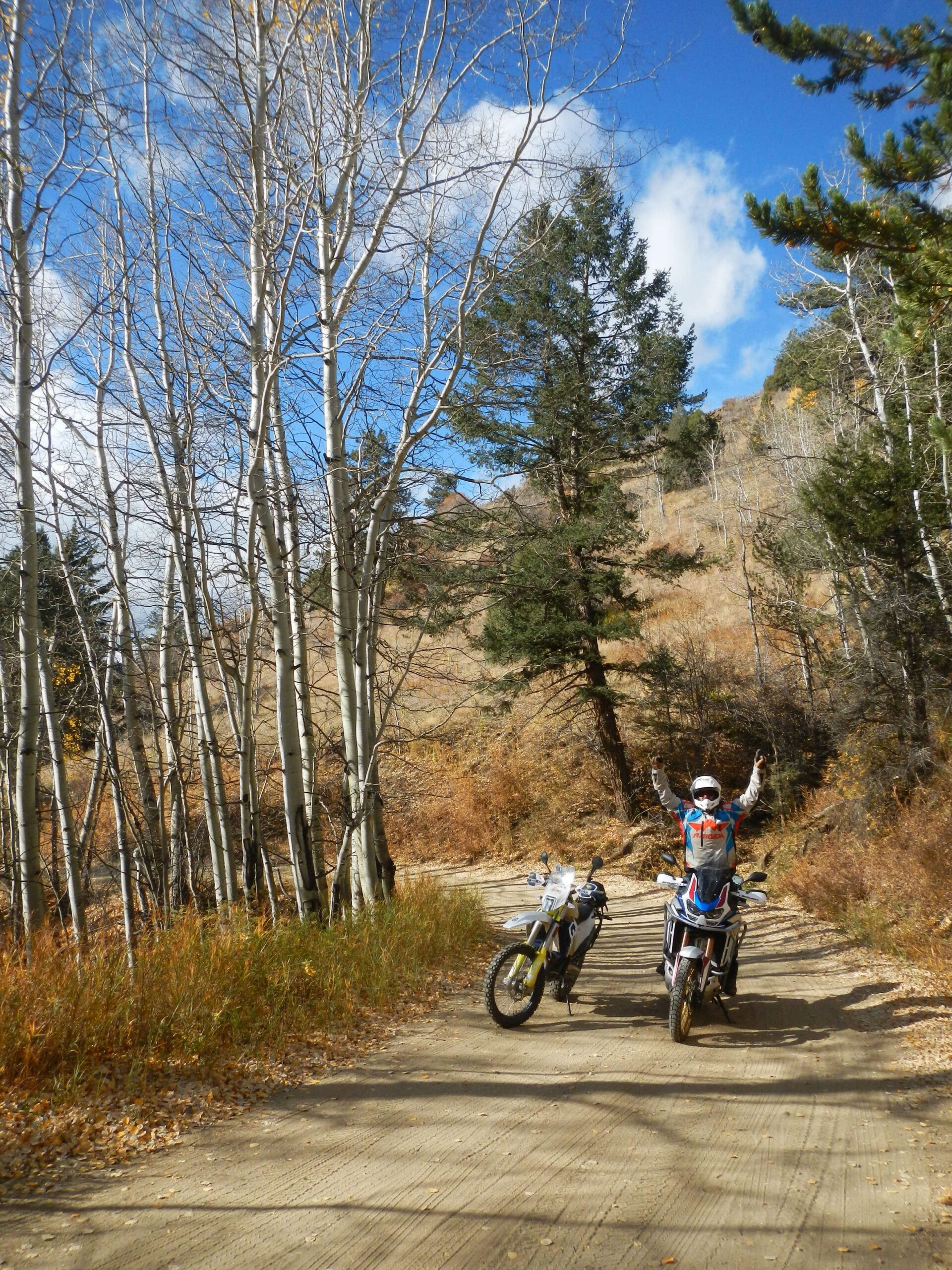
Planning a multi-day backcountry dual-sport expedition across Colorado’s Continental Divide sounds like the ultimate adventure—until a dry fuel valve on a remote ridge turns your dream ride into an emergency.
Navigating high-alpine ranges like the Sangre de Cristo and Mosquito corridors requires much more than simply downloading a digital trail file. Extreme elevation shifts, long stretches between rural gas pumps, total cellular dead zones, and sudden weather changes make Colorado loop planning an operational challenge.
Whether you’re riding a lightweight dual-sport or a fully loaded adventure bike, here is how to structure your multi-day backcountry logistics so your trip stays on track.
Calculating Fuel Range at High Altitude
The primary cause of backcountry breakdowns in the Rockies isn’t flat tires—it’s running out of gas. Standard range calculations made at sea level do not apply above 9,000 feet.
- Street / Highway Baseline: Standard pavement range estimates (e.g., 150 miles per tank).
- High-Alpine Off-Road Reduction: Expect a 25% to 35% drop in overall fuel efficiency due to low-gear crawling, loose terrain, and steep inclines.
- Safe Working Range: Plan fuel stops around a conservative 100 to 110-mile maximum buffer.
Real-World Fuel Ranges: Common Models
At high elevation, loose gravel, deep scree, and low-gear climbs significantly reduce baseline pavement fuel economy. Always plan your gas stops around your off-road range, not your highway range.
| Late Model Bike | Stock Tank Capacity | Avg. Highway Range | High-Alpine Off-Road Range |
|---|---|---|---|
| KTM 500 EXC-F / Husqvarna FE 501 | 2.25 gal (8.5 L) | ~100–110 miles | ~65–75 miles (Auxiliary fuel required) |
| Honda CRF300L | 2.06 gal (7.8 L) | ~130–140 miles | ~85–95 miles |
| Suzuki DRZ400S | 2.64 gal (10 L) | ~110–120 miles | ~75–85 miles |
| Yamaha Tenere 700 (T7) | 4.2 gal (16 L) | ~200–215 miles | ~135–150 miles |
| KTM 890 Adventure R | 5.3 gal (20 L) | ~240–260 miles | ~160–175 miles |
| BMW R 1250 / 1300 GS | 5.3 gal (20 L) | ~230–250 miles | ~150–165 miles |
Fuel Range Key Points:
- The “Safety Margin”: Calculate fuel stops based on your off-road numbers—climbing steep switchbacks on Mosquito or Weston Pass in 1st and 2nd gear burns through fuel significantly faster than cruising asphalt corridors.
- Waypoints vs. Reality: Small mountain towns like Alma, Jefferson, or Villa Grove may show pumps on GPS apps, but rural gas stations often face power outages, limited seasonal hours, or depleted pumps during peak summer weekends.
- Carry Auxiliary Fuel: Lightweight dual-sports (KTM 500, CRF300L, DRZ400) require extra fuel capacity for multi-day mountain loops. Carry an aftermarket oversized tank (e.g., Acerbis/IMS) or at least 1 to 2 liters of auxiliary fuel (Rotopax, Fuel Friend, or heavy-duty bladders) as a baseline buffer for unexpected reroutes.
EFI vs. Carbureted Fuel Performance
At 12,000 feet, the atmosphere holds roughly 30% less oxygen than at sea level. This drastic reduction in air density directly impacts your engine’s combustion chamber.
- Electronic Fuel Injection (EFI): Modern EFI systems use Manifold Absolute Pressure (MAP) and ambient air sensors to lean out fuel flow automatically. While your bike won’t bog down, expect a noticeable 15% to 20% loss in overall horsepower solely from the oxygen drop.
- Carbureted Motorcycles: Fixed-jet carburetors do not adjust on the fly. If you ride a carbureted dual-sport (like a stock DRZ400 or XR650L) tuned for sea level up into the Mosquito Range, your bike will run excessively rich. This causes sputtering, fouled spark plugs, and severe power loss under load.
Pro Tip: If running a carburetor, lean out your main jetting, drop your needle position, and carry fresh spare spark plugs in your tail bag.
Water Access & High-Altitude Hydration
Dehydration speeds up altitude sickness, causing fatigue, slow reaction times, and severe headaches. In the dry mountain air, you lose moisture rapidly just by breathing.
- Minimum Water Carry: Plan for a baseline of 3 to 4 liters of water per day per rider. A standard hydration pack isn’t enough for multi-day loops—keep a collapsible water reservoir packed in your luggage.
- Field Water Filtration: Don’t rely solely on municipal stops. Carry a lightweight micro-filter (Sawyer Squeeze or Katadyn BeFree) to draw water from clear high-alpine streams along USFS corridors.
Navigating Cellular Dead Zones
Do not rely on cell service for routing. Massive swathes of the Pike, San Isabel, and Gunnison National Forests have zero mobile signal.
Navigation Redundancy Stack:
- Primary: Digital Offline Maps (GPX Tracks loaded on dedicated GPS or Tablet)
- Secondary: Satellite Messenger (Garmin InReach or SPOT)
- Tertiary: Paper MVUM Maps (U.S. Forest Service / Topo)
Essential Navigation Rules:
- Offline App Prep: Pre-download vector base maps and satellite layers on apps like Gaia GPS or OnX Offroad before leaving cell service.
- Dedicated Satellite Trackers: A satellite messenger is essential. Beyond SOS emergency triggers, two-way messaging allows you to inform your support team if a blocked pass delays you.
- Forest Service MVUMs: Always carry physical Motor Vehicle Use Maps (MVUMs). Digital devices can overheat, drain their batteries, or crack during trail drops.
Ready to Launch Your Multi-Day Expedition?
- Looking for customized routes and itineraries? Connect with our Travel Advisory Service for a custom, vetted route tailored to your bike and experience level.