Please register or login to purchase a tour. ⇨
$4.99
Independence Pass Motorcycle Tour Route
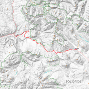
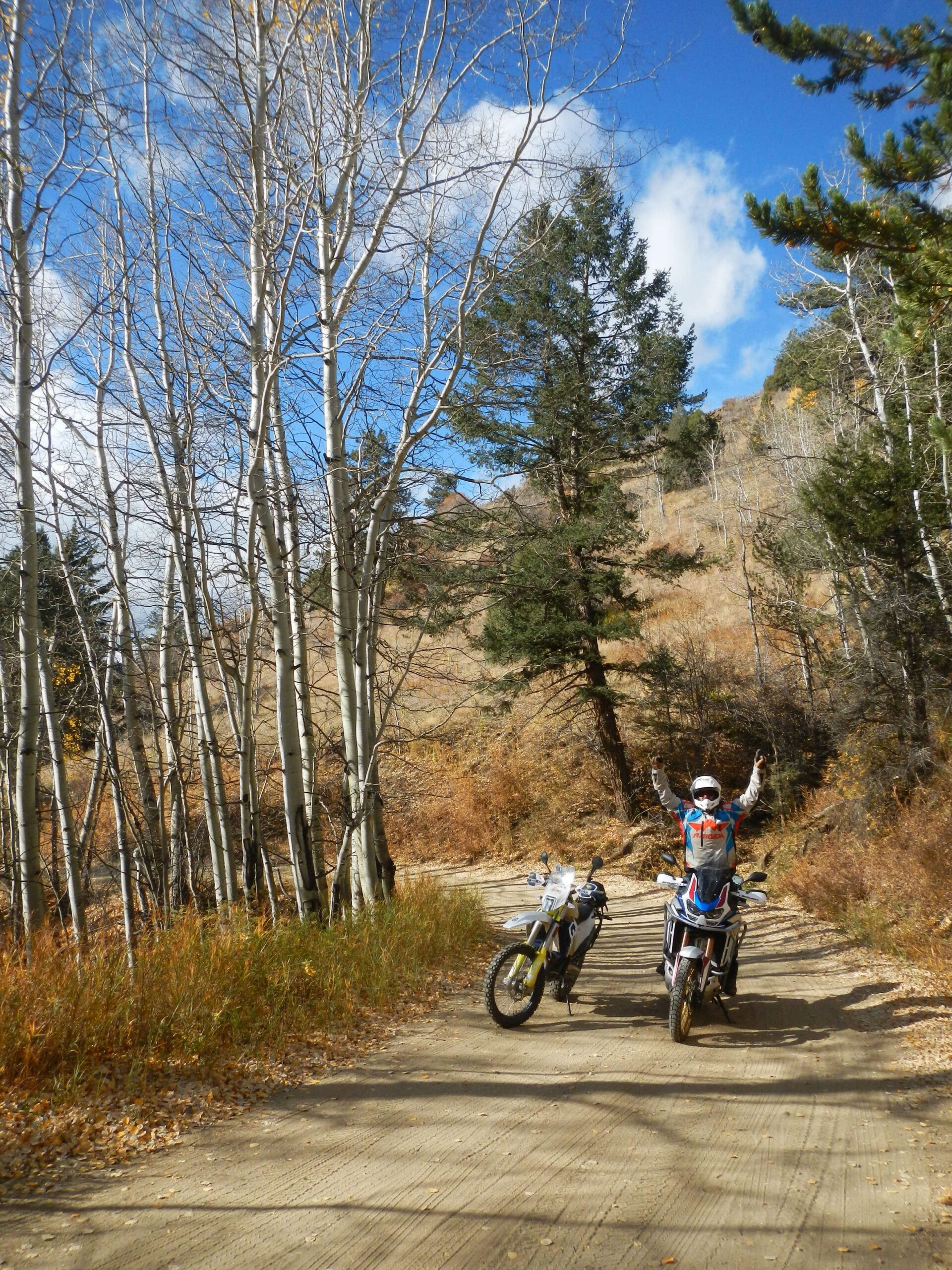
A self-guided dual sport and adventure motorcycle GPS route over Independence Pass in Colorado.
About This Route
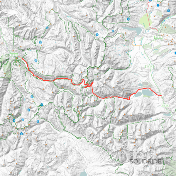
Independence Pass is a popular 42.54 mile paved tour route for dual sport and adventure motorcycles with an elevation of 12,095 feet. Purchase the base GPS track or find a tour loop featuring Independence Pass below.
| Track Length | 42.54 miles |
|---|---|
| Difficulty | |
| Surface | |
| Mountain Pass |
Self-Guided Motorcycle Tour Loops Featuring This Pass
Frequently Asked Questions
Learn more about this route and what to expect.
How difficult is Independence Pass?
Independence Pass is best suited for intermediate to advanced riders who are comfortable riding in mountain conditions and rapidly changing weather.
Is Independence Pass paved?
Yes, Independence Pass is fully-paved and accessible to large adventure and touring motorcycles.
When is Independence Pass open for travel?
Independence Pass is typically open for travel from late May or early June until late October or early November, depending on weather conditions. Due to heavy snowfall and challenging winter conditions, the pass closes during the winter months.
Are there any amenities or services available on Independence Pass?
While Independence Pass does not have any services directly on the pass itself, there are facilities and amenities available in nearby towns such as Aspen and Twin Lakes. These towns offer gas stations, restaurants, accommodations, and other services for travelers. It is advisable to stock up on supplies before heading over the pass.
How long is Independence Pass?
Independence Pass is around 40+/- miles between Twin Lakes and Aspen.
What are the road conditions like on Independence Pass?
The road over Independence Pass can be challenging due to steep grades, hairpin turns, and narrow sections of the road. Riders should exercise caution and be prepared for sharp curves, limited guardrails, and potential encounters with wildlife.

