Please register or login to purchase a tour. ⇨
$4.99
Cumberland Pass Motorcycle Tour Route
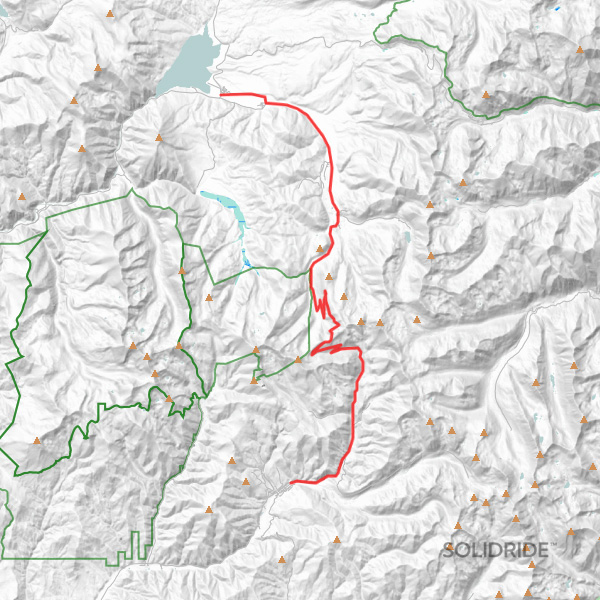
A self-guided dual sport and adventure motorcycle GPS route over Cumberland Pass in Colorado.
About This Route
Cumberland Pass is a popular 26.88 mile unpaved tour route for dual sport and adventure motorcycles with an elevation of 12,034 feet. Purchase the base GPS track or find a tour loop featuring Cumberland Pass below.
| Track Length | 26.88 miles |
|---|---|
| Difficulty | |
| Surface | |
| Mountain Pass |
Self-Guided Motorcycle Tour Loops Featuring This Pass
Frequently Asked Questions
Learn more about this route and what to expect.
How difficult is Cumberland Pass?
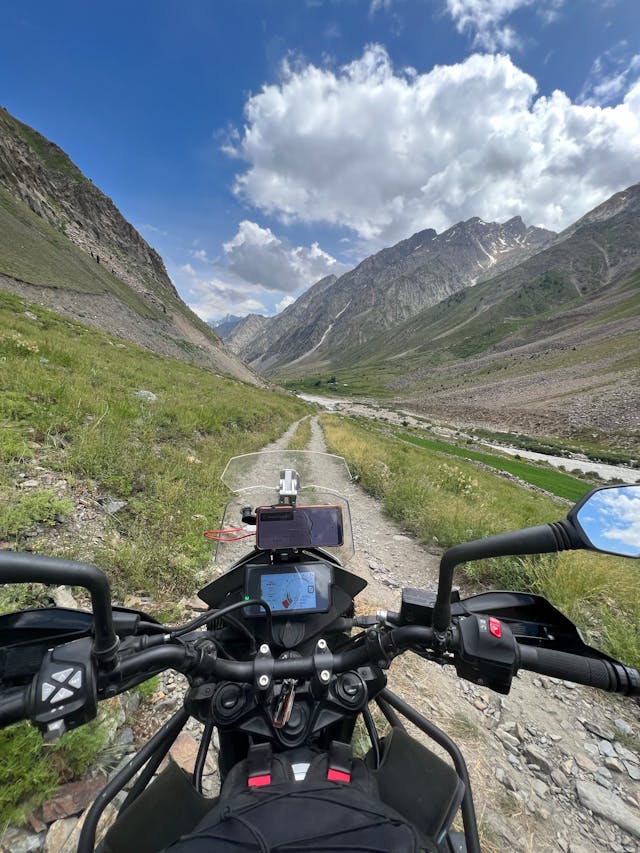
Riding dual sport and adventure motorcycles over Cumberland Pass can be challenging, with steep grades, narrow sections of the road, and rocky terrain. Intermediate riders should be experienced in mountain conditions and exercise caution during unpredictable weather.
Are there any technical sections on Cumberland Pass?
Cumberland Pass itself is a dirt and gravel road that is suitable for dual sport and adventure motorcycles.
What are some of the scenic highlights of riding over Cumberland Pass?
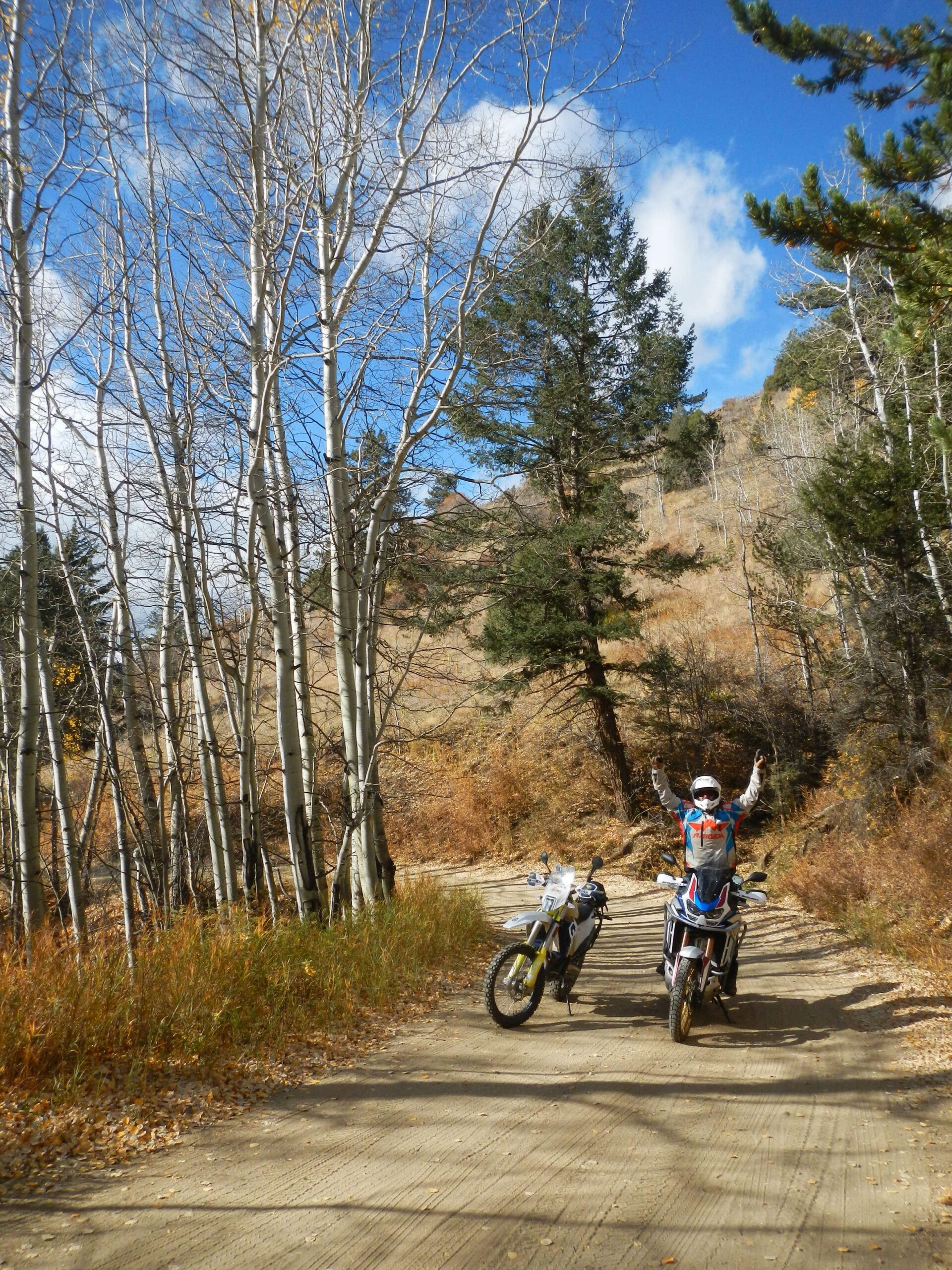
Cumberland Pass offers breathtaking scenic beauty, with panoramic views of the surrounding mountains, deep valleys, and lush forests. In the fall, the area becomes a riot of color as the aspens turn gold and orange.
Are there any services or amenities on Cumberland Pass?
Cumberland Pass itself does not have any facilities or services. Riders should be prepared with sufficient fuel, food, and water. Nearby towns such as Pitkin and Gunnison offer gas stations, restaurants, and accommodations.
What is the best time of year to ride over Cumberland Pass?
The best time of year to ride over Cumberland Pass is typically from late June to early September when the pass is fully open and weather is generally clear. However, riders should be prepared for sudden weather changes and carry warm gear, regardless of the season.
How long is Cumberland Pass?
Cumberland Pass is about 27+/- miles long between Pitkin and Tincup.

